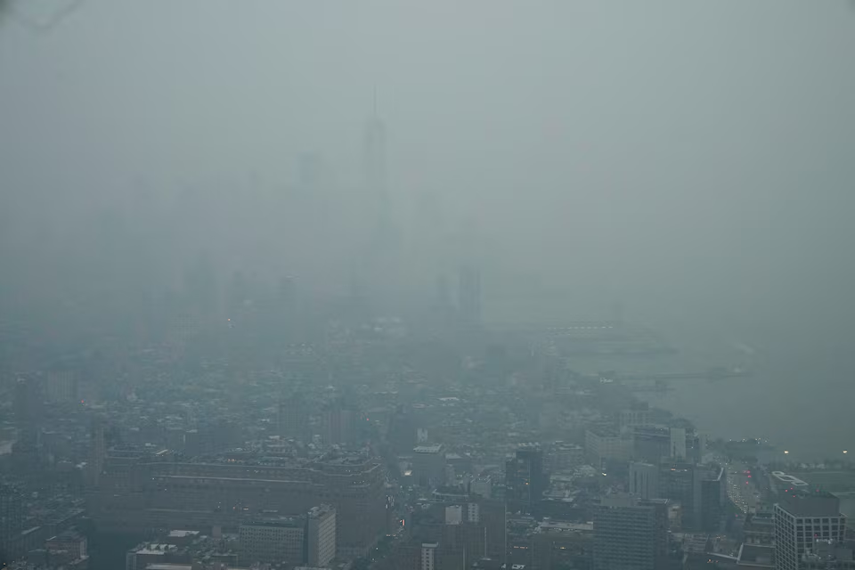
UNITED STATES — A chaotic confluence of extreme weather is ravaging the United States this week as the country simultaneously battles a smoke-choked East, catastrophic flooding in the South, and a rapid escalation of wildfires across the West.
Federal agencies report that over 100 million Americans—nearly one-third of the population—are currently living under active air quality alerts, while rescue crews in Texas struggle to manage rising river levels after days of record-breaking rainfall.
National Crisis Dashboard
Current data from the National Interagency Fire Center (NIFC) and the National Weather Service (NWS) paints a grim picture of a nation stretched thin:
- Active Wildfires: 68 large, uncontrolled blazes burning across 15 states.
- Total Acreage Burned: 3.72 million acres scorched so far this year—surpassing last year’s mid-July total by over 1 million acres.
- Personnel Deployed: Over 17,400 firefighters, 140 helicopters, and four military C-130 air tanker crews.
The Triple-Threat Convergence
1. The Smoke-Choked East (Air Quality Crisis)
Wildfire smoke originating from record-dry landscapes in Canada has drifted across the Great Lakes and blanketed the East Coast. Cities from Minneapolis to Washington, D.C., are experiencing hazardous air quality, with Chicago currently ranking as the second-most polluted city in the world. Authorities in major metros have shuttered parks and beaches, advising residents to remain indoors to escape the orange-hued, toxic haze.
2. Catastrophic Flooding (Texas Hill Country)
While the West burns, parts of Texas are being submerged. The Hill Country region has endured three consecutive days of historic rainfall, with some areas recording over 27 inches since Tuesday.
- Casualties: State officials have confirmed two fatalities, including a 65-year-old man swept away in his RV.
- Ongoing Danger: Governor Greg Abbott has warned that even as the rain eases, the threat remains extreme: “The rivers are going to continue to rise,” with major waterways expected to crest through the weekend.
3. Rapidly Spreading Western Flames
Lightning strikes in the Pacific Northwest have ignited 17 new major fires in the last 24 hours alone, making it the most active fire zone in the country. Unusually dry fuel conditions—which typically don’t reach these dangerous levels until mid-August—are being driven by record-low mountain snowpack and severe, persistent drought.
Climatologists: “Rolling the Dice” on Disasters
Experts point to a phenomenon known as jet stream “resonance” as the culprit. According to University of Pennsylvania climatologist Michael Mann, human-driven climate change has caused these high-altitude wind waves to become amplified and “trapped,” causing extreme weather systems to stall over specific regions for dangerously long periods.
“What climate change is doing is it’s rolling the dice so that you’re going to get drier conditions and more wildfires at the same time as you’re going to get more rain,” explained Jonathan Overpeck, dean of the University of Michigan’s School for Environment and Sustainability.
Meteorologists expect rain forecast for the weekend may finally begin to clear the smoke from the Eastern corridor, but the hot, dry weather projected for Texas next week is expected to further stress fire-prone regions in the West.


